
Quick answer
For a day exploring Mullerthal’s rock scenery, consider the local B2 loop at Berdorf. Its official description lists 4.3 km and a walking time of 1 hour 35 minutes. Allow extra time for your breaks and any exploration among the rocks. A short distance does not make the outing suitable for everyone.
Mullerthal is a walking region, not one circuit. The B2 loop is different from a complete Mullerthal Trail route. Our Luxembourg guide introduces other landscapes for your stay.
Useful details for the B2 loop
| Detail | Information |
|---|---|
| Start and finish | Tourist Info, Berdorf |
| Format | Local B2 circular route |
| Listed distance | 4.3 km |
| Official walking estimate | 1 hour 35 minutes |
| Check before setting out | Rocks, narrow passages and surface conditions |
These details come from the official B2 description, checked on 9 October 2026. Review its map and current path information before leaving. The figures describe the reference circuit, rather than every possible exploration beside it.
Who might enjoy this walk?
Consider B2 if you want a relatively short outing with time to observe the rock formations. You still need to pay attention to your footing. Assess the group’s comfort with steps, wet surfaces and confined passages before deciding.
With children, use a pace that keeps everyone together. For anyone uneasy in narrow spaces or on uneven ground, examine the obstacles instead of relying on the distance. This article does not confirm suitability for a pushchair or wheelchair.
Ladders and rocky passages: keep the choice open
The official description says that using the ladder at the Raiberhiel formation is optional: you can continue the walk without it. There is no need to make that feature a compulsory objective for everyone.
Small explorations can increase the time you spend on the outing. Agree which ones to include and return to your planned route. A striking formation deserves attention, but it is not a reason to leave permitted paths or follow another group without knowing where they are going.
Plan a day with room to spare
Arrive in Berdorf with enough time to check the starting point and local signs. Walk at your own pace and keep a flexible period before the journey home. If you add another attraction, calculate its access separately rather than assuming it lies on B2.
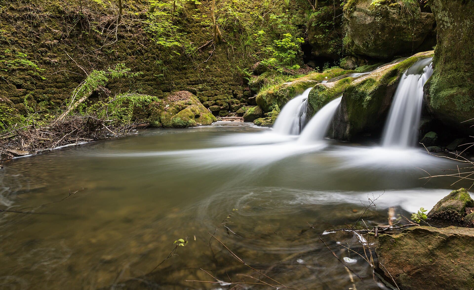
The article photograph shows Schiessentümpel, a landscape in the Mullerthal region. It does not mean the B2 loop passes that waterfall. To include it, plan a separate visit or walking route and check its access.
Weather, footwear and your daypack
Check the day’s forecast and local path notices. After rain, take damp rocks and steps into account. In unfavourable conditions, shorten or replace the outing rather than trying to follow a fixed programme at any cost.
Carry footwear with suitable grip, water, a snack and rain protection. Charge your phone and save the map for offline use. Villages in the surrounding region do not guarantee that a shop will be open when you need it.
Getting to the start and returning
For public transport, confirm the stop serving the trailhead, the walk between the stop and starting point, and return services on your travel day. If driving, use authorised parking and read the local signs before setting out.
A loop simplifies logistics, but make sure the route you actually follow returns to your starting point. An improvised detour can change the distance and make the journey back more complicated.
Frequently asked questions
Can you use this programme for all of Route 2?
No. Mullerthal Trail Route 2 and local B2 are different routes. A longer walk needs separate planning for stages, walking time and return arrangements.
Is B2 necessarily easy?
No. Distance alone does not describe rocky passages, grip or your comfort. Read the official description and match the outing to your group.
Can you visit for just a few hours?
Yes, if your available time covers access, walking, breaks and the journey back with a margin. Do not treat the official walking estimate as a deadline.