
To plan your trip, also read Alps: when is the best time to go hiking? and Alps: a hiking guide to planning your trip.
Quick answer
Choose a hiking trail in the Alps by comparing elevation gain, walking time, terrain and return options, then check local conditions. Of the routes below, the Petit Balcon Sud between Argentière and Les Tines involves the least climbing. Lac du Lauzon offers a longer loop, while Eychauda, Lac Blanc and Lauvitel require more preparation. This selection covers the French Alps, specifically the Écrins and Chamonix Valley.
A photograph of a mountain lake rarely shows the full journey. The return may be long, a crossing may still hold snow, or an access path may be closed. Start with a walk your group can finish comfortably, then choose the scenery you would most like to see.
Five French Alpine trails compared
Figures come from official route descriptions checked on 1 October 2026. Walking times are estimates; allow extra time for breaks and your group’s pace. Difficulty labels belong to the publishing organisations and should not be treated as a single standardised scale.
| Trail and starting point | Published distance | Ascent | Published time | Official difficulty | Route type |
|---|---|---|---|---|---|
| Petit Balcon Sud, Argentière–Les Tines | 3.8 km | 88 m | 1 hr 15 min | Easy, valley floor | One way |
| Lac du Lauzon, Gioberney | 6.6 km | 442 m | 3 hrs | Easy | Loop |
| Lac de l’Eychauda, Chambran | 11.7 km | 823 m | 5 hrs | Moderate | Out and back |
| Lac Blanc, upper Flégère station | 7 km | 500 m | 3 hrs return* | Difficult, significant ascent | Published route from Flégère |
| Lac du Lauvitel, Les Ougiers | 8.9 km | 701 m | 4 hrs | Difficult | Published loop; recheck access |
The Lac Blanc description also gives 1 hr 45 min for the ascent alone. Allow more time than the headline total suggests and keep within the gondola’s last descent time. Transport time is separate from walking time.
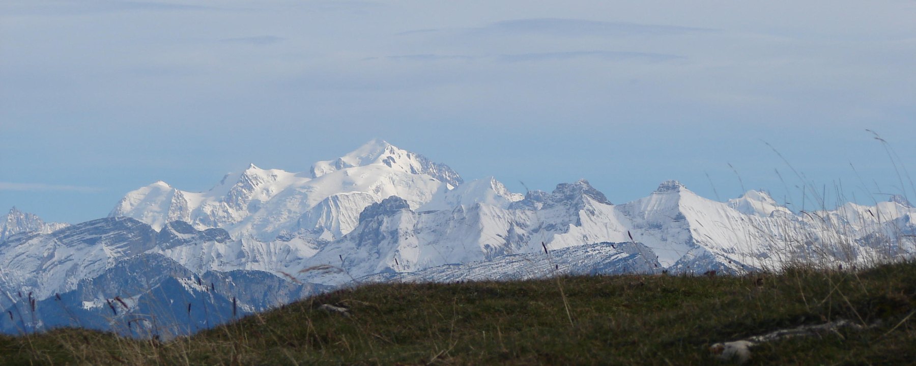
The Mont Blanc massif seen from the Salève — Claude Choisnet · CC BY-SA 3.0, license.

1. Petit Balcon Sud: a shorter walk near Chamonix
The Argentière–Les Tines section suits hikers seeking limited ascent and a shorter outing. It is a linear route, so its 3.8 km do not include walking back. The official description identifies a rockfall section: an easy rating does not mean an absence of hazards (official trail information).
Choosing this route: arrange the return before setting off. A linear walk can work well with suitable transport, but check the timetable rather than assuming a connection will be available. With children, leave generous time for breaks and keep expectations flexible.
2. Lac du Lauzon: a loop in the Écrins
Starting at Gioberney in Valgaudemar, this loop reaches a lake overlooking a glacial mountain cirque. Its 442 metres of ascent still require sustained effort, despite the park’s easy rating.
Choosing this route: consider it if several hours of walking are already comfortable for your group. For a first mountain outing, compare the expected time with a recent walk you have completed. Learn the return route as well as the way to the lake.
3. Lac de l’Eychauda: a substantial mountain day
The route starts at Chambran in the Vallouise-Pelvoux area. It follows a valley before climbing in zigzags to the lake, then returns along the same path. With 823 metres of ascent over 11.7 km, it is a substantial outing.
Choosing this route: give it a day when everyone has enough energy in reserve. Moderate does not mean a gentle stroll. Plan for the descent too: reaching the lake is only the halfway point in the journey.
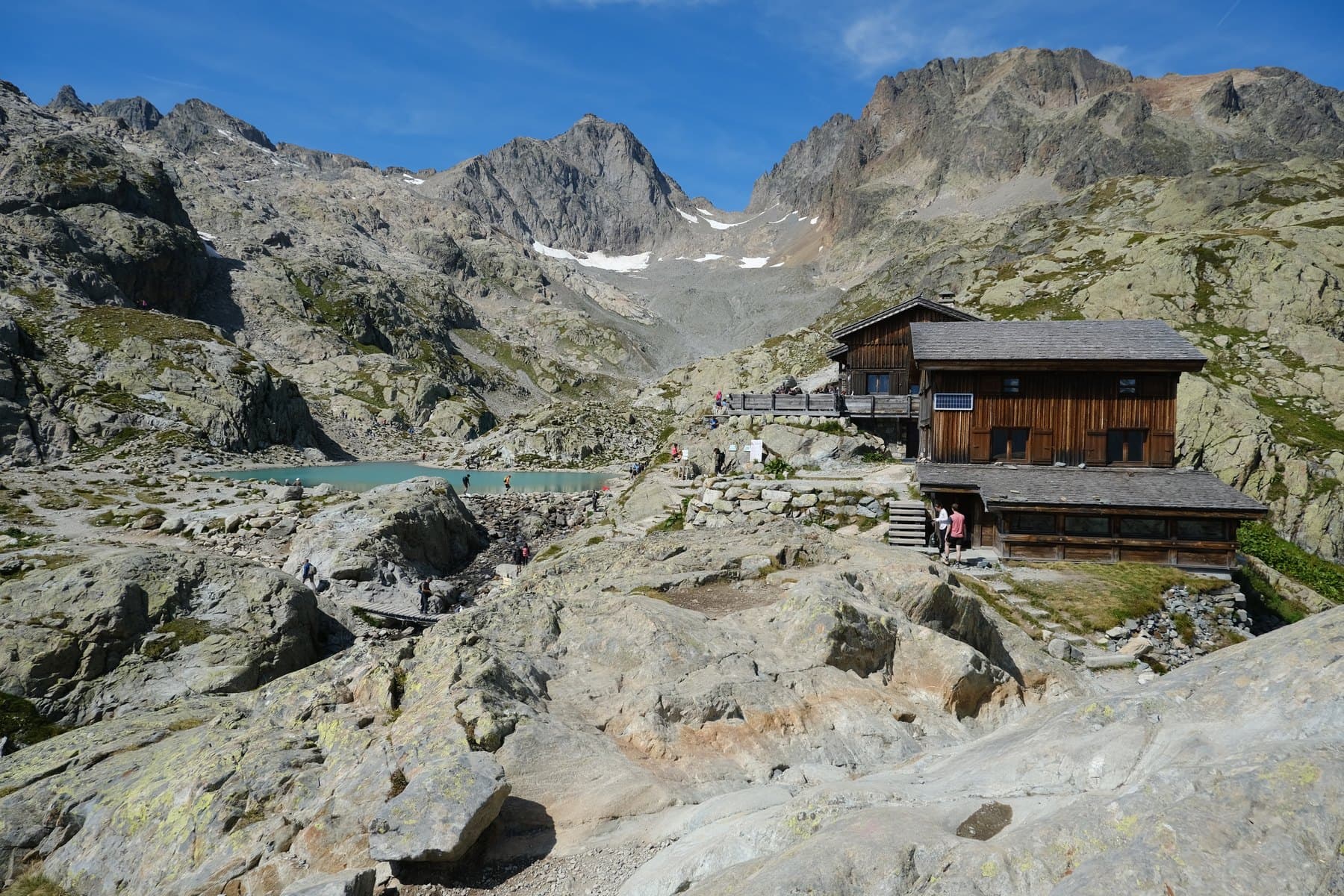
4. Lac Blanc: decide on the access route first
This version starts at the upper Flégère station, reached from Les Praz. The gondola reduces climbing but leaves a mountain hike. The official page rates it difficult and states that swimming is prohibited in Lac Blanc and the Chéserys lakes.
Choosing this route: check lift operating times, snow conditions and the precise route. Starting on the valley floor would invalidate the figures above. A return ticket does not guarantee a ride after the lift has closed.
5. Lauvitel: check the access situation carefully
The published figures refer to a start at Les Ougiers via La Danchère. When checked, the park reported a washed-away footbridge and directed visitors to the left-bank path. The published loop therefore should not be followed automatically in full.
Choosing this route: ask the park or tourist office which access is usable. An out-and-back alternative may change both distance and time. Choose another outing if access cannot be confirmed; do not improvise a bypass around a closure.
Which trail matches your experience?
For first-time Alpine hikers
Start with a shorter route, limited ascent and confirmed suitable conditions. The Petit Balcon Sud has the lowest ascent in this selection. Lauzon may also be worth considering if everyone is comfortable walking for several hours and the conditions match their abilities.
For a more demanding day
Eychauda may suit walkers used to sustained climbing. Lac Blanc and Lauvitel deserve careful assessment too: their comparatively modest distances do not cancel out the official difficulty or access constraints.
For families
Consider each child’s experience, ability to descend and willingness to keep walking. Check whether turning back is straightforward. A small distance does not automatically make a route suitable for your family. Keep the first day flexible enough to learn everyone’s pace.
Checks that should shape your decision
Confirm the exact starting point, route type and mountain weather forecast. Download an offline map and check closures before leaving. A GPS track can help navigation but does not establish that a trail is open.
Carry water, food, rain protection, a warm layer and the equipment appropriate to your outing. Tell someone where you are going. If the conditions require skills you do not have, change the route or use a suitably qualified professional.
Avoid packing all five hikes into a tight schedule. Chamonix and the Écrins valleys are separate destinations, with travel to account for. Pick a base first, then build your hiking days around nearby routes.
FAQ
Which is the shortest route listed?
The Petit Balcon Sud from Argentière to Les Tines, at 3.8 km one way. Plan the return separately.
Does an easy rating mean preparation is unnecessary?
No. Terrain, weather, ascent and current conditions still need checking.
Can I use these figures from a different starting point?
No. They apply to the named route versions. Another start or return branch changes the journey.
Must I reach the lake?
No. Your return deadline, tiredness or deteriorating conditions may justify turning back earlier.
Are these trails available all year?
No. Conditions and access determine availability. Check locally for your dates.