
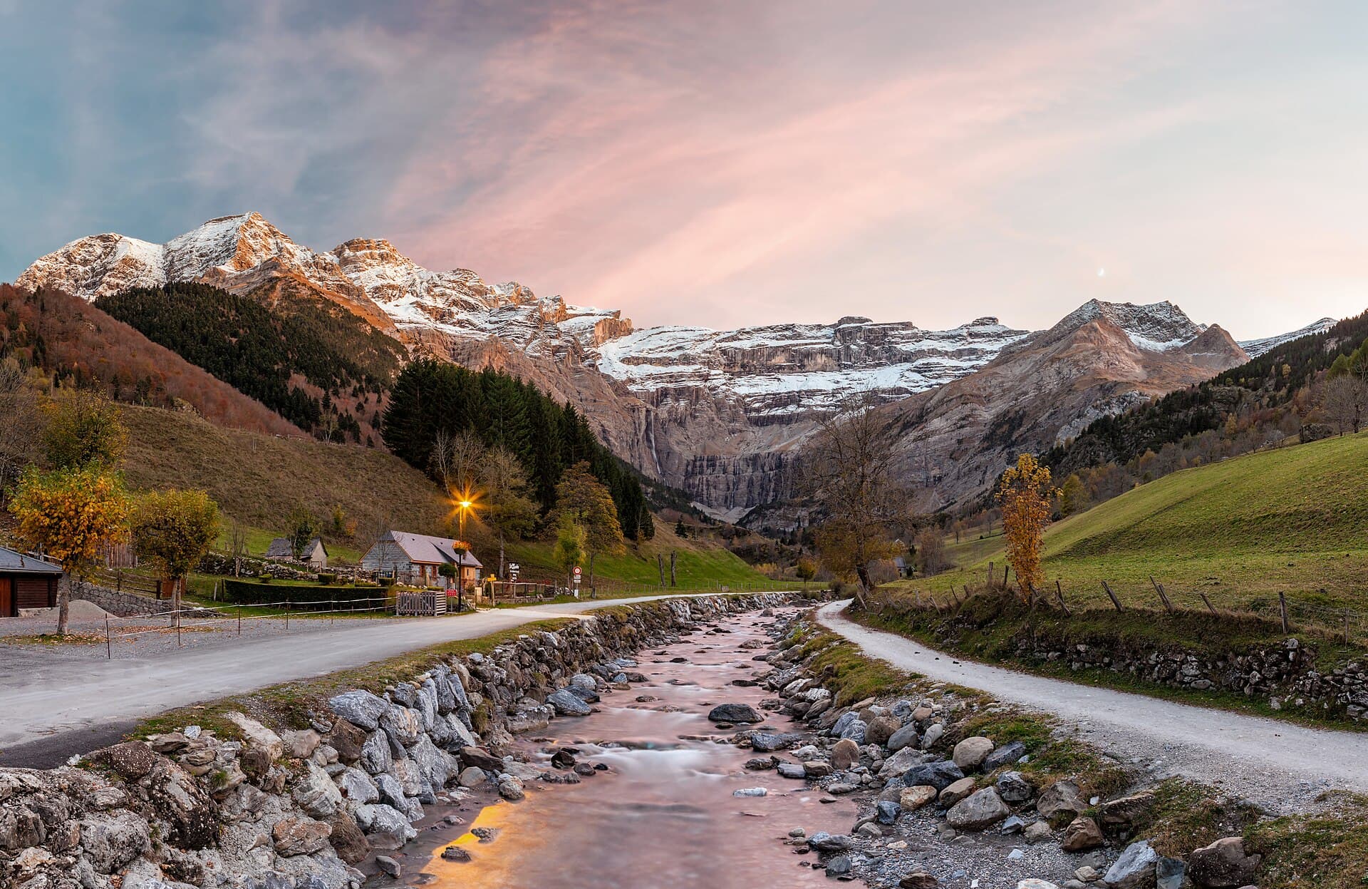
To plan your trip, also read Pyrenees hiking guide: how to plan your trip.
Quick answer
In this Pyrenees selection, Gavarnie’s main path is worth considering for limited ascent, Gaube Lake offers a shorter walk on rocky ground, and Cola de Caballo in Ordesa requires more endurance. Compare terrain, time and your group’s experience, then check local conditions. These examples cover the central French and Spanish Pyrenees rather than the entire range.
A striking landscape does not automatically make the right hike. Some travellers prefer a gentle day with frequent stops; others want a long walk through a valley. Choose a route you can enjoy all the way back.
Three hikes compared
Figures refer to the official route versions below, checked on 2 October 2026. Distances cover the full out-and-back journey. Times are estimates; add breaks and a margin for your group.
| Route | Starting point | Total distance | Ascent | Published time | Difficulty |
|---|---|---|---|---|---|
| Gavarnie cirque, main path [1] | Gavarnie village | 7.9 km | 226 m | 2 hr 30 min | Easy on the official page |
| Gaube Lake on foot [2] | Puntas car park, Pont d’Espagne | 4.9 km | 259 m | 2 hr 30 min | Moderate on the official page |
| Pradera de Ordesa–Cola de Caballo [3] | Pradera de Ordesa | 17.5 km | 490 m | 5 hr 30 min | MIDE: environment 2, navigation 1, terrain 2, effort 3 |
French labels and Spain’s MIDE system are not directly interchangeable. MIDE separates several dimensions instead of giving one overall label. Read the terrain description alongside distance and ascent.
1. Gavarnie’s main path: discover the cirque
This route reaches the Hôtellerie du Cirque from the village and returns the same way. It excludes the climb to the foot of the great waterfall. That extension is steeper and rated difficult by the official description [1].
Why choose it? Consider it first if limiting ascent matters while still having a substantial walk. Nearly eight kilometres remains a meaningful distance, so check it suits everyone.
Tip: agree on the endpoint before leaving. An extension is optional, even if it looks tempting when you arrive. Keep enough energy for the walk back.
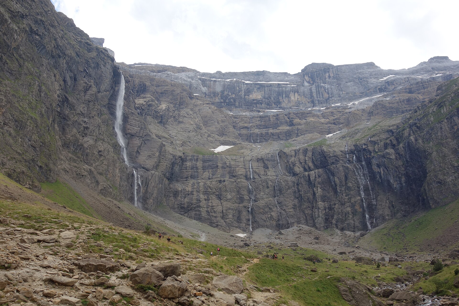
The great waterfall at the head of the Cirque de Gavarnie — Photo: Pimlico27 · CC BY-SA 4.0.

2. Gaube Lake: shorter does not mean easier
The walking route starts at Puntas car park and returns along the same path. The description notes rocky steps that can be high. It advises against this route in winter and early spring because of avalanche risk, and states that swimming is prohibited [2].
Why choose it? Investigate Gaube for a shorter outing if you are comfortable on uneven ground. Fewer kilometres do not establish that it will be easier on knees or better for small children.
Tip: the table describes walking up. If using lifts, check the alternative route and operating times separately.
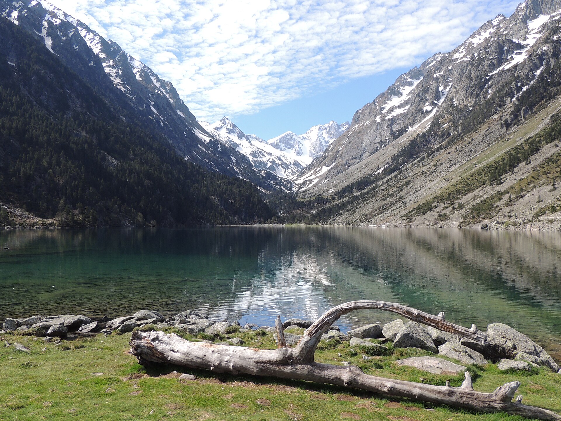
Gaube Lake facing the Vignemale massif — Photo: Tsarabanjina · CC BY-SA 4.0.
3. Cola de Caballo: plan a full walking day
The published route starts at Pradera de Ordesa, follows the valley to Cola de Caballo and returns the same way. The description includes waterfalls and the Gradas de Soaso. Its 17.5 kilometres require stamina despite moderate ascent [3].
Why choose it? It suits a plan built around a long walk for people already comfortable with that distance. Check trailhead access and your return deadline before setting out.
Tip: do not substitute another circuit with the same destination name without reading its description. A different branch can change terrain, effort and time.
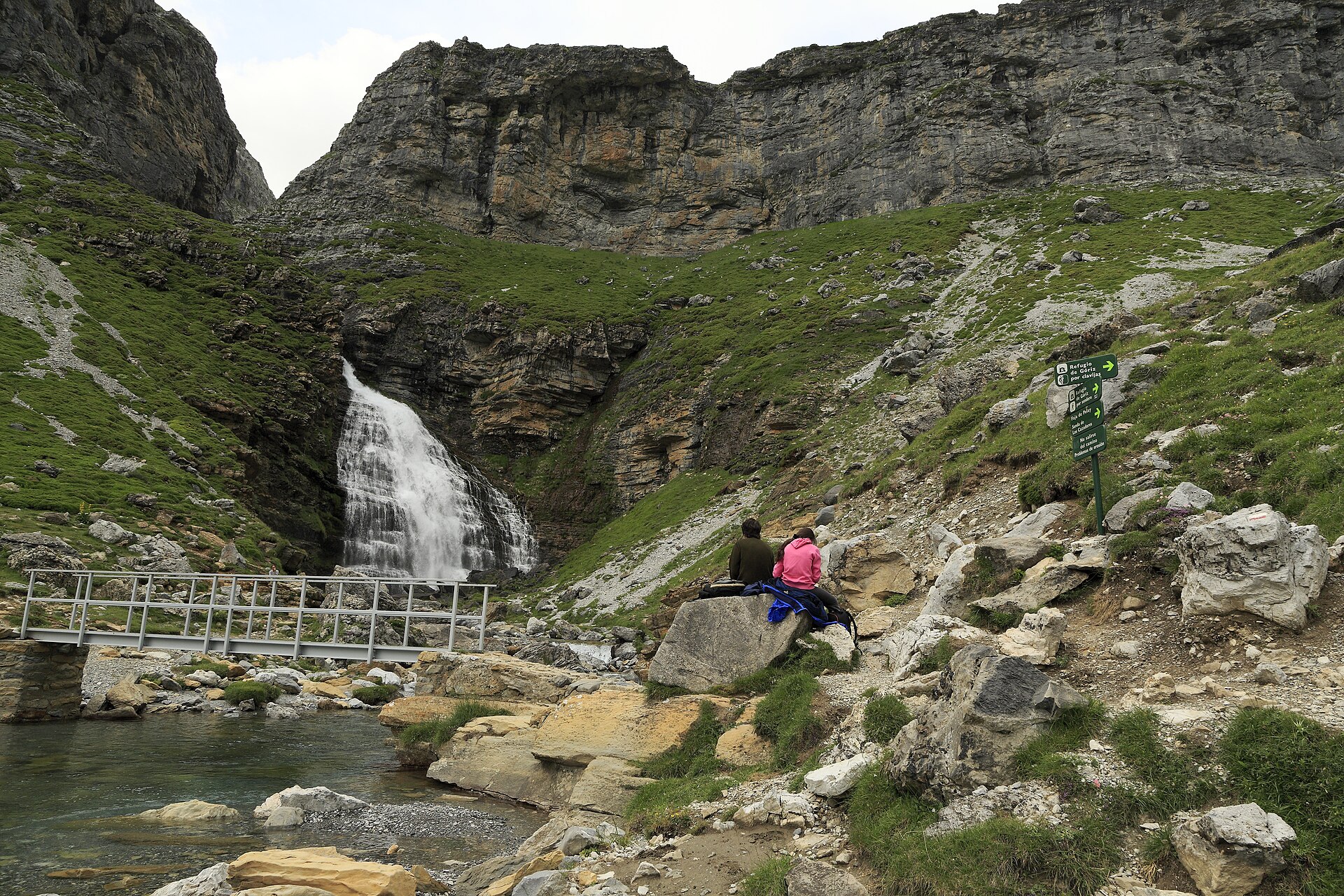
The Cola de Caballo waterfall at the head of the Soaso cirque — Photo: Falk2 · CC BY-SA 4.0.
Which route matches your group?
For a first mountain walk
Compare recent walking experience with the table. Gavarnie has less ascent but more distance than Gaube. Ground matters too: a shorter route with steps may be less suitable than a longer path.
If all three exceed your comfort level, look for a shorter local outing. Reaching a famous destination is not essential to enjoying a first day.
For families
Think about the return, familiarity with the ground and time for breaks. Do not treat the official duration as a deadline. Out-and-back routes can be shortened if you make the decision early enough.
For experienced walkers
Cola de Caballo is the longest day listed. For a harder route or summit, find a dedicated description rather than extending these walks spontaneously. Stamina does not replace technical skills.
Make the outing fit your holiday
Choose accommodation around your trailheads. Cauterets, Gavarnie and Ordesa are separate destinations; travel needs space in the programme. For a short visit, staying in one area leaves more time for walking and rest.
The evening before, check mountain weather, trail conditions, roads, transport and parking. Download an offline map. Carry water, food, a warm layer, rain protection and equipment suitable for your level of independence.
The French Pyrenees National Park emphasises route preparation and appropriate equipment [4]. Follow local rules and closures. A GPS track does not prove a path is open.
FAQ
Which hike is shortest?
Gaube Lake from Puntas: 4.9 km out and back for the route listed.
Which has the least ascent?
Gavarnie’s main path, with 226 metres of ascent and no waterfall extension.
Do walking times include every break?
Treat them as estimates. Add time for photographs, food, children and your actual pace.
Can I use these routes in winter?
Do not apply summer descriptions to snowy conditions. Seek suitable winter information and local advice.
Must I reach the endpoint?
No. Tiredness, weather, terrain or timing may justify turning back.
Official sources
Checked on 2 October 2026. Recheck conditions, services and rules for your actual travel dates.
- Rando Vallées de Gavarnie — Cirque par le chemin principal
- Rando Vallées de Gavarnie — Lac de Gaube
- Senderos Turísticos de Aragón — Pradera de Ordesa–Cola de Caballo
- Parc national des Pyrénées — Préparer sa randonnée