
Hiking in Switzerland
High lakes facing 4,000-metre peaks, flower-filled pastures and trails marked to the smallest pass: hiking in Switzerland is among the most accessible in the Alps, even without a car.
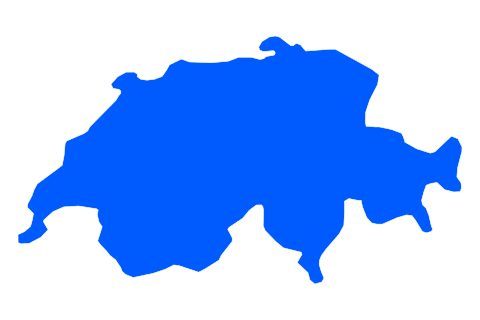
Hiking places
Routes to explore
- Via Alpina suisse
- Chemin des crêtes du Jura
- sentier des cinq lacs de Zermatt
Quick answer: where to go hiking in Switzerland?
For hiking in Switzerland, the most popular regions are the Bernese Oberland (Grindelwald, Lauterbrunnen), Valais (Zermatt, Saas-Fee), Graubünden, Ticino and the Jura. The country has a fully marked trail network, with three levels recognisable by the colour of the markings. Most trailheads are reached by train, PostBus or lift. The season for high trails generally runs from June to October, depending on snow; Ticino and the Jura can be walked earlier and later.
| At a glance | |
|---|---|
| Where | Bernese Oberland, Valais, Graubünden, Ticino, Jura |
| For whom | From beginner walkers to experienced alpine hikers |
| When | June to October at altitude; spring and autumn in Ticino and the Jura |
| Suggested length | One base for 3 to 7 days of day hikes |
| Plan for | Choosing the trail level, booking huts, transport timetables |
| Watch out for | Summer storms, lingering snow on passes, exposed sections |
Where to go hiking in Switzerland
Plan hiking in Switzerland around a valley. The Bernese Oberland offers views of the Eiger, Mönch and Jungfrau; Valais holds most of the 4,000-metre peaks; Graubünden is wilder; Ticino has a milder climate; the Jura offers ridges and wooded pastures.
A well-connected base lets you string together hikes of different levels without a car, returning to the same accommodation each evening.
Understanding Swiss trail markings
Swiss markings show how demanding a trail is, which helps you choose your hike:
- Yellow: hiking trail, suitable with basic fitness.
- White-red-white: mountain hiking trail, often narrow, steep or partly exposed; you need to be sure-footed.
- White-blue-white: alpine route, for experienced hikers only, with pathless sections, snowfields or scrambling.
Yellow signposts also show walking times; adjust them to your pace and breaks.
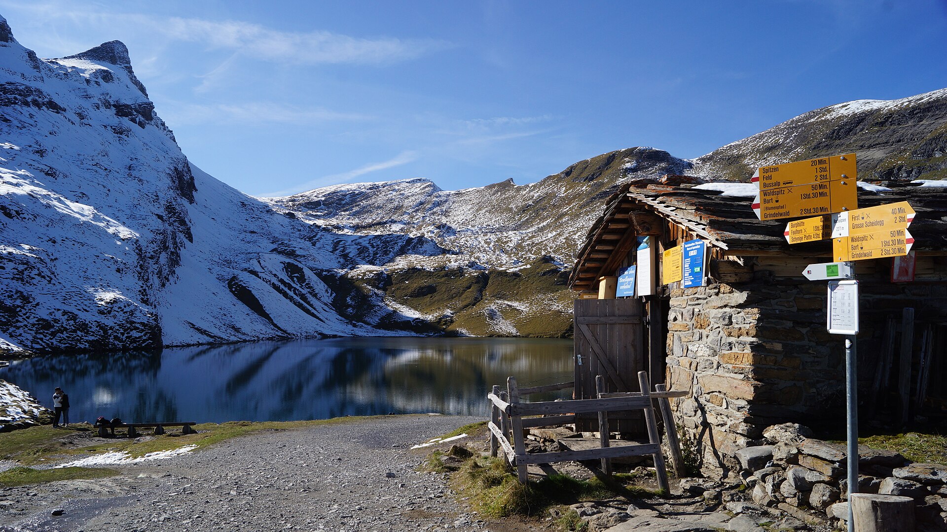
Hiking signpost at the Bachsee above Grindelwald — Photo: FkMohr · CC BY-SA 3.0 de.
Choosing your hiking region in Switzerland
Bernese Oberland: Grindelwald and Lauterbrunnen
Around Grindelwald and Lauterbrunnen, many balcony trails offer views of the Eiger and Jungfrau, often reached by lift. The Via Alpina, a long-distance route across Switzerland, passes through the region.
Valais: the Zermatt five lakes trail
In Zermatt, the five lakes trail links several high lakes with the Matterhorn as a backdrop. Valais also has more demanding routes and high mountain huts. Check lift openings and snow conditions before you set off.
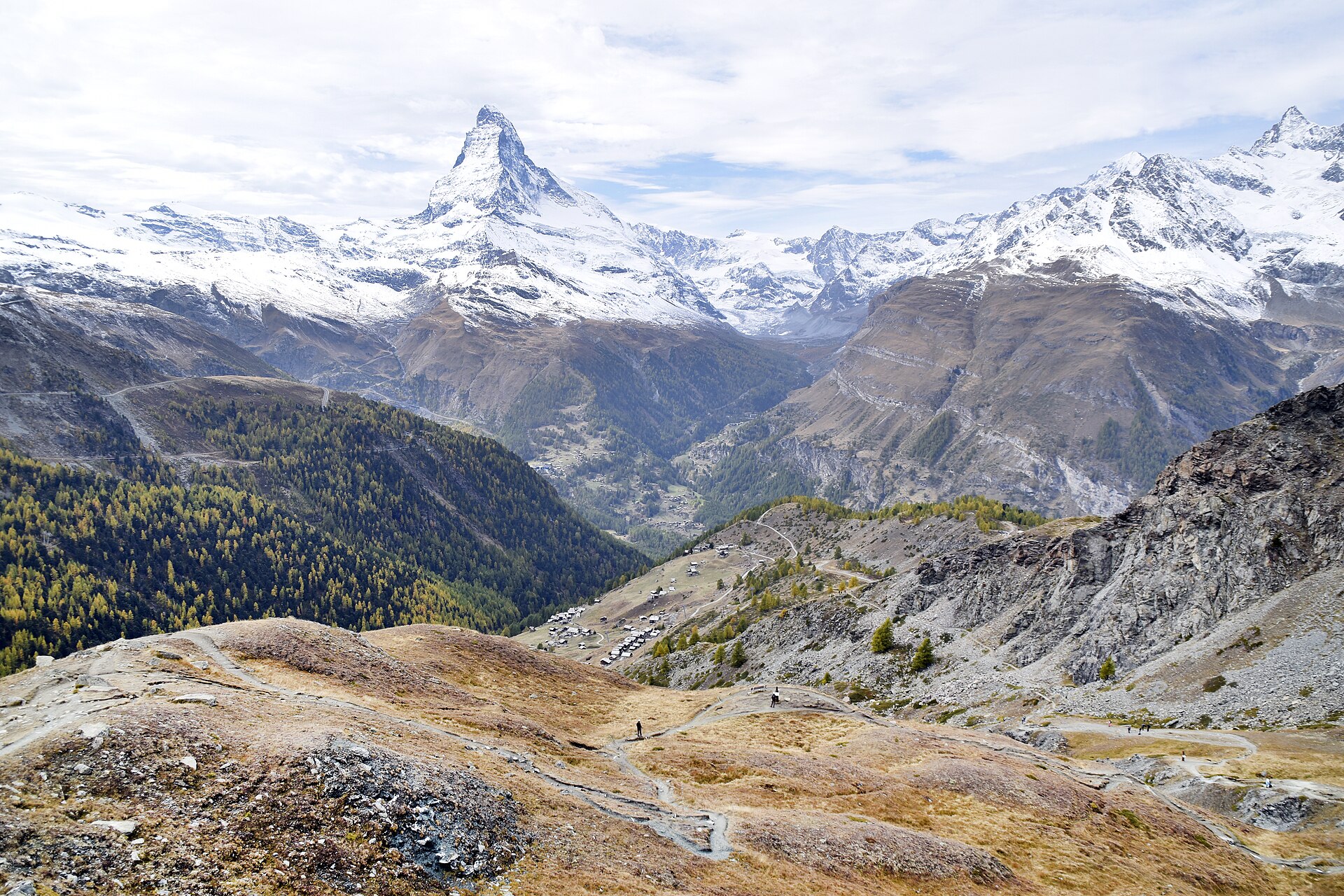
The Matterhorn from the five lakes trail near Zermatt — Photo: Alltheswissthings · CC BY-SA 4.0.
Ticino and Graubünden: lakes and south-eastern valleys
Ticino, south of the Alps, combines stone villages, narrow valleys and high lakes such as those of Val Piora. Its milder climate lengthens the season. Graubünden offers large, quieter valleys and the Swiss National Park, where visitor rules are strict.
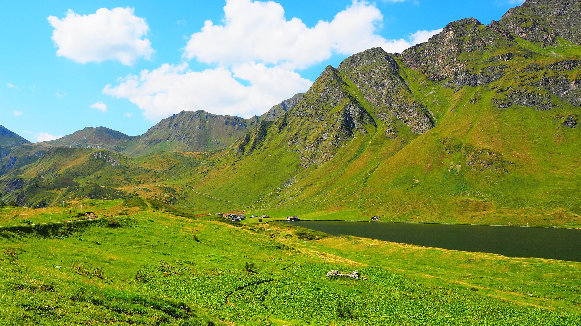
Lake Cadagno in Val Piora, Ticino — Photo: Offenbacher · CC0.
Jura: the crest trail
In the west of the country, the Jura Crest Trail follows wooded heights and pastures over several stages. The lower altitude means you can hike here from spring until late autumn.
When to go hiking in Switzerland
High trails are generally open from June to October, depending on the year’s snow. In June, snowfields may still cover the passes. In July and August, start early to avoid afternoon storms. September and early October often bring stable weather and fewer people. Ticino and the Jura also suit spring and autumn.
Transport, huts and organisation
- Transport: trains, PostBuses and lifts serve most trailheads. Check the time of the last return.
- Huts: mountain huts should be booked ahead in summer, especially at weekends.
- Maps: official maps and routes of the national hiking network are available online.
- Lifts: many run only in season; check opening dates.
Gear and safety
Wear footwear suited to the trail level and bring a waterproof jacket, a warm layer, sun protection and water. On white-red-white trails you need to be sure-footed; on white-blue-white routes, alpine experience too. Check the mountain forecast the day before and turn back if a storm builds.
Frequently asked questions about hiking in Switzerland
What do the Swiss trail marking colours mean?
Yellow for hiking trails, white-red-white for mountain trails and white-blue-white for alpine routes, which are for experienced hikers only.
Can I go hiking in Switzerland without a car?
Yes. Trains, PostBuses and lifts serve most trailheads in Switzerland. Just check the return timetable.
When should I go hiking in Switzerland?
June to October for high trails, depending on snow. Ticino and the Jura are also good in spring and autumn.
Do I need to book mountain huts?
Yes, especially in summer and at weekends. Book ahead and let the hut know if you cancel.
Sources
Sources checked on 24 October 2026. Check trail and lift conditions before you go.