
Hiking in Malawi
A granite massif rising out of tea estates, mountain huts and grassy plateaus above 2,000 m: Malawi offers hiking that is still little visited in southern Africa.
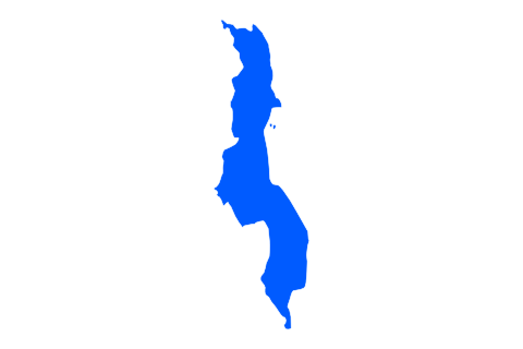
Hiking places
Routes to explore
- Treks du Mulanje à préciser
Quick answer: where can you go hiking in Malawi?
For hiking in Malawi, the Mulanje massif in the south is the main destination: a high plateau crossed by trails and dotted with huts, topped by Sapitwa (3,002 m), the country’s highest peak. The site has been on the UNESCO World Heritage List since July 2025. Zomba Plateau suits day hikes, and the Nyika Plateau in the north suits multi-day treks across high grasslands. The cool dry season, roughly mid-April to August, is the most pleasant. On Mulanje, you register and pay fees before setting off, at the Likhubula forestry office.
| At a glance | |
|---|---|
| Where | Mulanje (base: Likhubula), Zomba, Nyika (Chelinda) |
| Who for | Fit hikers; Sapitwa for experienced walkers |
| When | Roughly mid-April to August; September–October hot and dry |
| Suggested length | 2 to 4 days on Mulanje |
| Plan for | Registration, fees, huts, guide and porters |
| Watch out for | Fog on the plateau, Sapitwa’s rocky sections, rains November–April |
Where to go hiking in Malawi
Malawi is best known for its great lake, but its highlands are worth a trip on foot. Three areas stand out: the Mulanje massif, Zomba Plateau, about an hour from Blantyre, and the Nyika Plateau in the north.
For a first trip, the south is the simplest: Mulanje and Zomba combine easily from Blantyre. Nyika takes more logistics.
Choosing your hiking area in Malawi
Mulanje: huts, plateau and Sapitwa
Mulanje is a granite massif rising abruptly above tea estates. Its plateau, divided into basins, is home to the Mulanje cedar, Malawi’s national tree. The massif is sacred to several peoples of the region, which is why UNESCO inscribed it in 2025 as a cultural landscape.
Treks usually start at Likhubula, home to the forestry office. Hikers register there and pay conservation fees, the day before or early on the morning of departure. About ten basic huts dot the plateau: bunks, sometimes a fireplace, no electricity or running water. Bring a sleeping bag, mat and food.
Sapitwa, whose name is often translated as “don’t go there”, is the toughest part: the final climb crosses boulders and slabs where route-finding is tricky. Sources disagree on whether a guide is mandatory; ask for the current rule at the forestry office and, for Sapitwa, go with a registered guide.
Practical tip: fog can cover the plateau within minutes. Carry a map and an offline GPS track, and do not leave a hut late in the day without visibility.
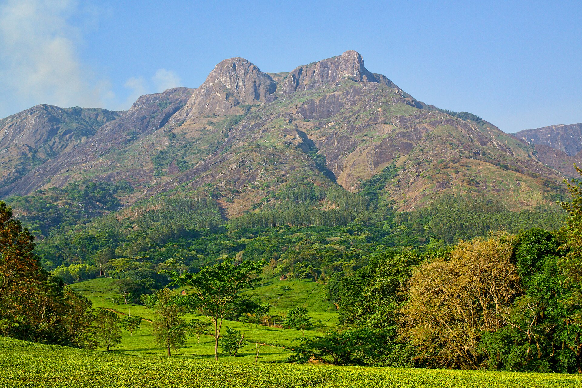
The Mulanje massif above the plain — Photo: David Davies · CC BY-SA 2.0.
Zomba Plateau: forests and viewpoints for a day
Above the town of Zomba, a former colonial capital, the plateau offers forest walks, waterfalls and views over the plain. A road climbs to the top, making it a good one- or two-day stop before or after Mulanje.
Trails are many but poorly marked: a local guide helps link the viewpoints without getting lost.
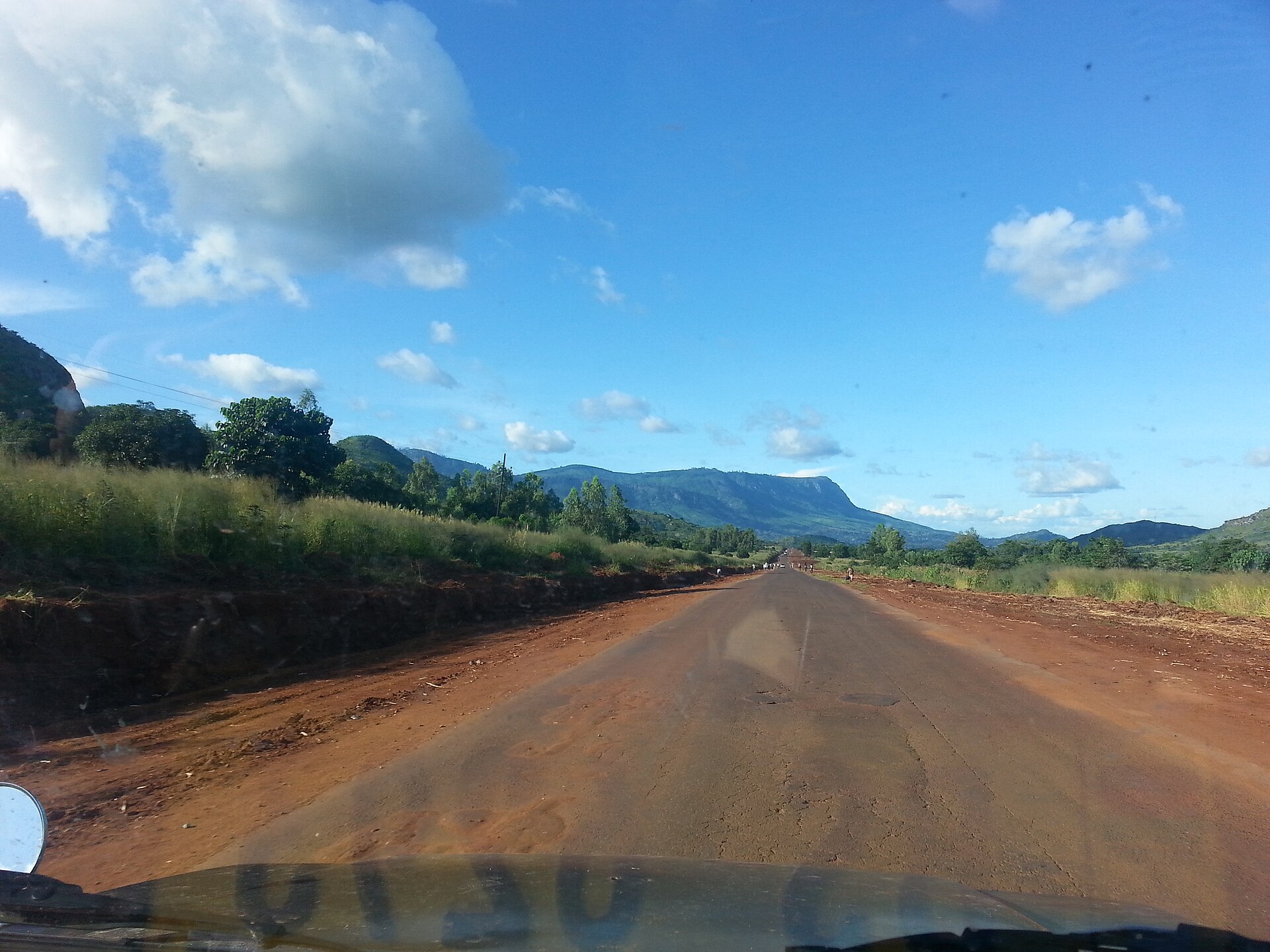
Zomba Plateau seen from the south — Photo: Felefuchs · CC BY-SA 3.0.
Nyika: high grasslands in the north
Nyika National Park covers a vast grassland plateau, much of it above 2,000 m. You walk among antelope and zebra. The best-known trek links the plateau to the Livingstonia mission above Lake Malawi over several days.
Access is by a long track suitable for 4×4 vehicles, or by charter flight. Lodging and guiding services change over time, so check what is operating before you build your plan.
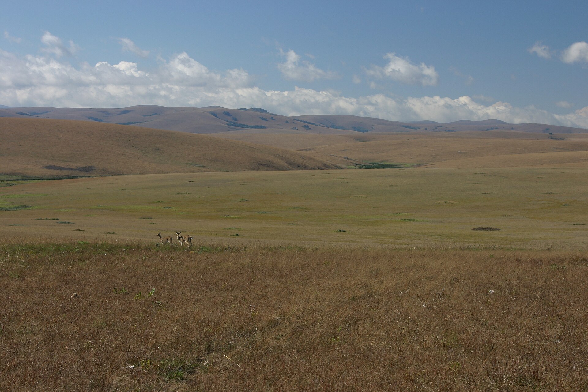
High grasslands of the Nyika Plateau — Photo: Thomas Wagner · CC BY-SA 3.0.
When to go hiking in Malawi
The cool dry season, roughly mid-April to August, is the most pleasant: often clear skies, mild days and cold nights at altitude. September and October stay dry but get very hot at low altitude, so start early.
The rainy season, roughly November to April, makes Mulanje’s slabs slippery and swells the streams. Some crossings become dangerous after heavy rain.
To compare with other destinations, see our month-by-month calendar of the best time to go hiking.
Registration, huts and logistics
- Registration: required at the Likhubula forestry office or with the Mulanje Mountain Conservation Trust, with payment of conservation fees.
- Huts: run by the Forestry Department and the Mountain Club of Malawi; book ahead in high season.
- Guides and porters: available locally or through local operators; choose a registered guide and agree on rates and load weight before leaving.
- Transport: road from Blantyre to Mulanje and Zomba; for Nyika, 4×4 or charter flight.
Gear and respect
Bring a warm sleeping bag, waterproof jacket, warm layers for the nights, shoes that grip on rock and water treatment: streams are plentiful, but water should be treated. Pack a headlamp for the huts.
Mulanje is sacred to local communities: follow your guide’s advice about sites and springs. Carry out your rubbish and use existing fireplaces.
Frequently asked questions about hiking in Malawi
What is the best hike in Malawi?
Crossing the Mulanje plateau from hut to hut is the country’s most complete trek. Experienced walkers can add Sapitwa.
Do I need a guide on Mulanje?
The rules described by sources vary. Ask for the current rule at the Likhubula forestry office; for Sapitwa, a registered guide is strongly recommended.
How many days should I spend on Mulanje?
Two to four days let you climb onto the plateau, sleep in huts and, fitness and weather permitting, attempt Sapitwa.
When should I go hiking in Malawi?
From roughly mid-April to August, during the cool dry season.
Is Mulanje a UNESCO site?
Yes. The Mount Mulanje Cultural Landscape was inscribed on the World Heritage List in July 2025.
Sources
Checked on 10 October 2026: UNESCO, Mount Mulanje Cultural Landscape; Mountain Club of Malawi; UK FCDO, Malawi travel advice.