
Hiking in Cambodia
Some of South-East Asia’s largest rainforests, rivers and upland grasslands: in Cambodia, hiking means guided treks with local communities and strict safety rules.
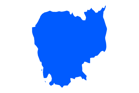
Hiking places
Routes to explore
- Treks de Virachey à documenter
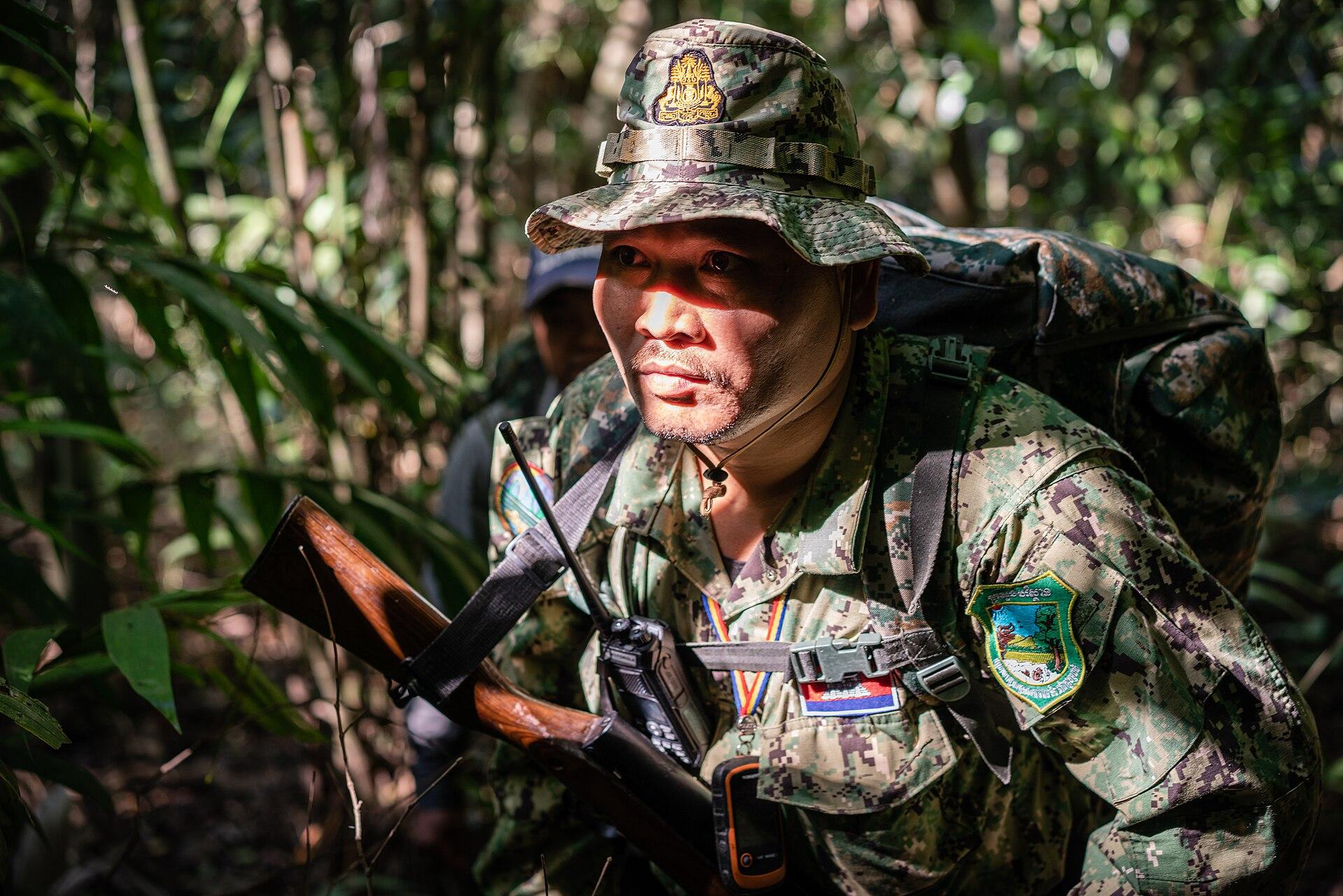
Quick answer: where can you go hiking in Cambodia?
Hiking in Cambodia mostly means guided treks in two forested areas: the Cardamom Mountains in the south-west and Virachey National Park in the north-east. In the Cardamoms, the village of Chi Phat runs treks with community guides, working with the NGO Wildlife Alliance. Go in the dry season, roughly November to April. Never leave the trail: landmines and unexploded ordnance remain in some rural areas. As of 21 September 2026, the French foreign ministry formally advises against the 30 km strip along the Thai border.
| At a glance | |
|---|---|
| Where | Cardamoms (base: Chi Phat), Virachey (base: Banlung, Ratanakiri) |
| Who for | Hikers ready for heat, humidity and forest camping |
| When | Dry season, roughly November to April |
| Suggested length | 2 to 4 trekking days, plus transfers |
| Plan for | Local guide, booking with the community or an operator |
| Watch out for | Mines and UXO off-trail, Thai border zone, heat |
Where to go hiking in Cambodia
Cambodia has no network of long waymarked trails. Hiking here takes the form of forest treks led by local guides, often with nights in hammocks or homestays. Two regions concentrate most trips: the Cardamom Mountains and Virachey National Park.
The Angkor temples can be explored on foot or by bike, but that is sightseeing on an archaeological site rather than nature hiking.
Choosing your hiking region in Cambodia
Cardamom Mountains: rainforest and ecotourism in Chi Phat
The Cardamoms are one of the largest forest massifs in South-East Asia. They peak at Phnom Aural, the country’s highest point at 1,813 m. The region was long closed to visitors; trails have since been opened, notably with Wildlife Alliance, which supports forest protection patrols.
The village of Chi Phat hosts a community-based ecotourism project. You arrive by boat on the Piphot River, and village guides, some of them former hunters or loggers, lead multi-day treks. Tourism income supports forest protection. Book with the community or an operator that works with it.
Practical tip: the western Cardamoms reach the Thai border. Before choosing a route, check that it stays outside the 30 km strip the French foreign ministry advises against.
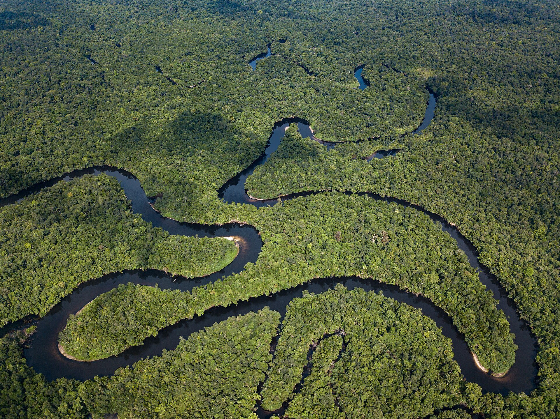
The Cardamom rainforest from the air — Photo: Andyb3947 · CC BY-SA 4.0.
Virachey: forest and grasslands in the north-east
Virachey National Park, in Ratanakiri province, is one of the country’s most remote natural areas, on the borders of Laos and Vietnam. It holds forest, waterfalls and upland grasslands such as Veal Thom. Treks are long, require good fitness and are arranged with rangers and guides from Banlung.
Around Banlung, shorter outings lead to the Yeak Laom crater lake and to ethnic minority villages. Ask before photographing people and follow your guide’s rules.
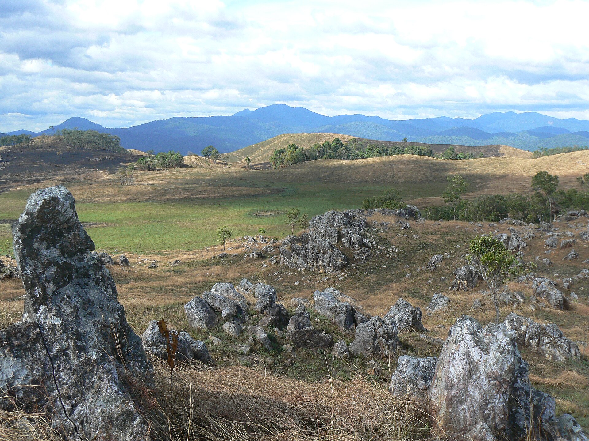
Veal Thom grasslands in Virachey National Park — Photo: Mangoholic2 · public domain.
When to go hiking in Cambodia
The dry season, roughly November to April, is best for trekking. November to January is also the least hot period. March and April are very hot: start early and keep stages short.
The rainy season, about June to November according to the French foreign ministry, brings floods and flash floods. Tracks turn muddy, rivers rise and leeches are common in the forest. Some treks close or become hard to reach.
To compare with other destinations, see our month-by-month calendar of the best time to go hiking.
Safety: mines, the border and logistics
- Mines and UXO: stay on trails and paths used by locals; never touch a suspicious metal object and respect red danger signs.
- Thai border: as of 21 September 2026, the French foreign ministry formally advises against all travel within 30 km of the border; a ceasefire has been in place since 27 December 2025, but the situation remains fragile.
- Guide: essential in the forest, for navigation, safety and contact with communities.
- Transport: road from Phnom Penh to the south-west coast for the Cardamoms, or to Banlung for Ratanakiri; allow time, as journeys are long.
Gear and health
Pack light long-sleeved clothing, quick-drying shoes, leech socks, insect repellent, a headlamp and a water filter or tablets. A hammock with mosquito net is often provided on multi-day treks; confirm when you book.
See a travel health clinic before departure, especially about malaria prevention in forest areas. Drink plenty: humid heat tires you quickly, even on a short stage.
Frequently asked questions about hiking in Cambodia
Can you go hiking in Cambodia without a guide?
Not in the forest. Trails are unmarked, mines remain a risk off the paths, and community treks work with local guides.
Are landmines a danger for hikers?
The risk exists off the paths in some rural areas. Staying on the trails used by your guide and by villagers greatly reduces it.
What is the highest mountain in Cambodia?
Phnom Aural, in the Cardamoms, at 1,813 m.
When should I go trekking in Cambodia?
In the dry season, roughly November to April, ideally November to January for more bearable temperatures.
Is Chi Phat close to the Thai border?
Chi Phat is in Koh Kong province, which borders Thailand. Check the advisory map and the exact trek route before booking.
Sources
Checked on 10 October 2026: French foreign ministry, Cambodia security; Wildlife Alliance; Cambodian Mine Action Centre.